
This section will explain how to import Esri Shapefiles into the UTM Geo Map application. Since an SHP (Shapefile) consists of a collection of interrelated files (sharing a common filename prefix including .shp, .dbf, .prj, and .cpg files), we provide several options for importing shapefiles into our system:
1. Using a ZIP file.
Our system can process ZIP files. You can compress your .shp, .dbf, .prj, and .cpg files into a single .zip archive, allowing our system to read them all at once.
2. Selecting multiple files.
Our SHP import system supports the selection of multiple files simultaneously. You can select all related shapefile at once.
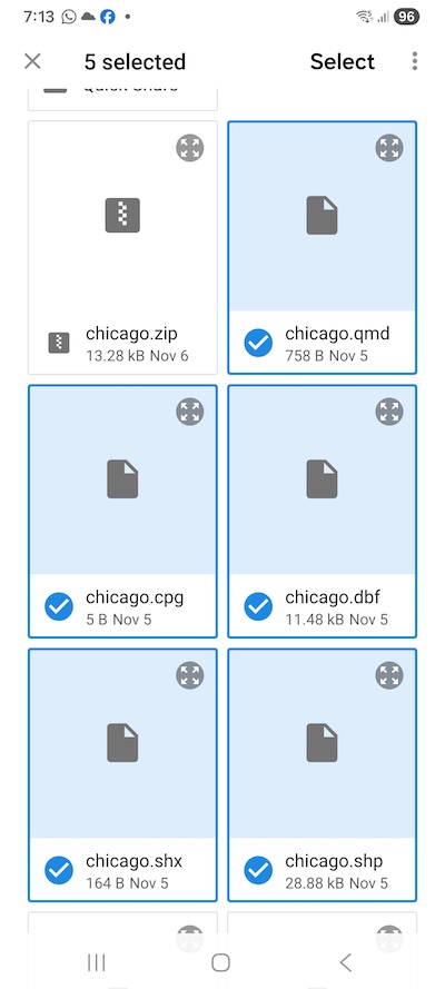
3. Importing geometry files only.
You may choose to import only the .shp file to bring in the geometry without its associated attributes. In this case, objects will be named based on the layer name followed by a number (e.g., "layer (1)"). The coordinate system will default to latitude/longitude, though you may also specify it manually.
Shapefile Coordinates
Please provide the coordinate system used in your shapefile—whether it is latitude/longitude, UTM, or an EPSG code. Manually specified coordinate systems will take precedence. While our system attempts to read coordinate information from the .prj file, this process may occasionally fail; therefore, we recommend specifying the coordinate system manually.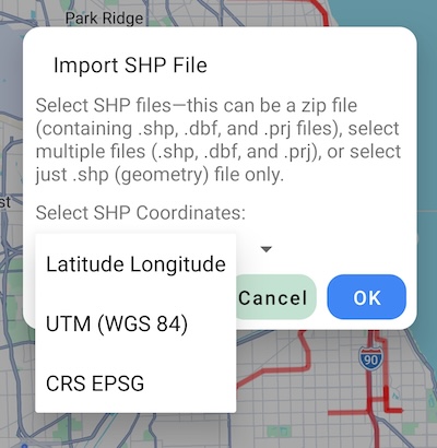
Please pay attention to the size and complexity of your shapefile (no larger than 2Mb is recommended), importing large and complex files can cause the application to hang or even crash.